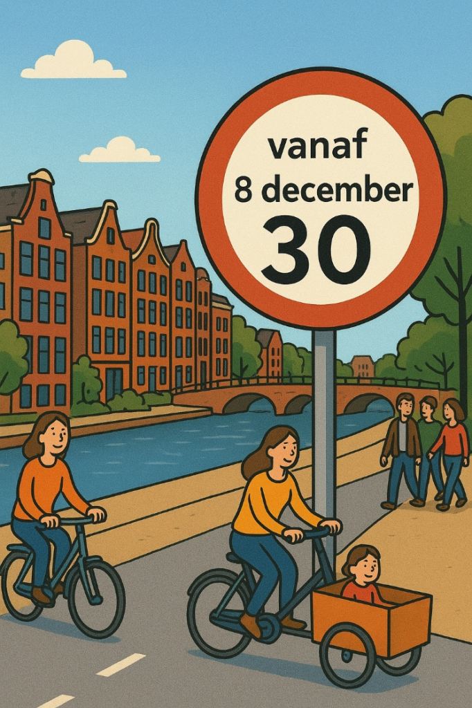
We conducted a natural experimental study of Amsterdam’s city-wide 30 km/h policy.. When cities reduce traffic speeds, people move and connect more. Amsterdam’s city-wide 30 km/h limit increased children cycling by 86% and social interactions among adults by 75% on intervention streets, showing that speed limits can shape healthier, more connected cities.
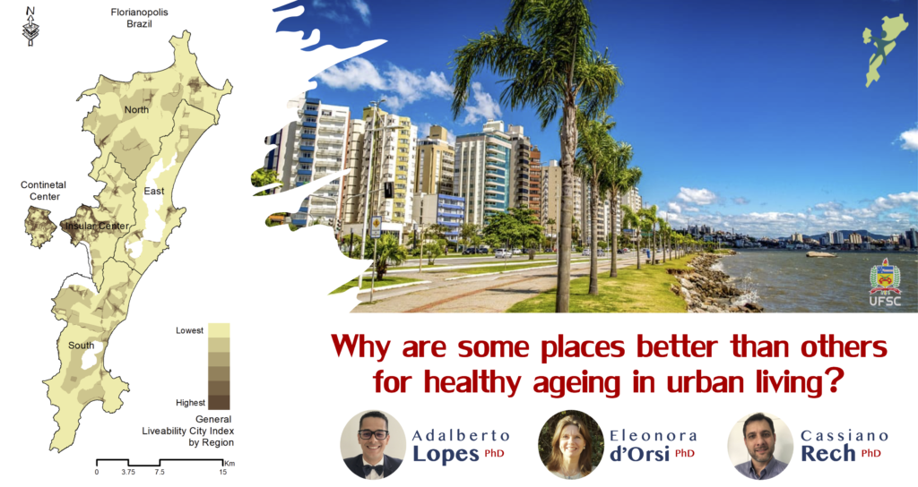
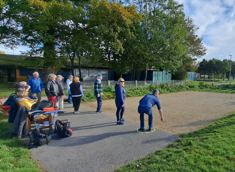
Urban health is a complex system that involves several indicators acting together, there is no single solution to the health-related issues in cities. We wanted to promote healthy ageing in urban living. Our strategy was to take people’s needs and demands into account, when evaluating, monitoring and proposing feasible changes in built, natural and social environments.
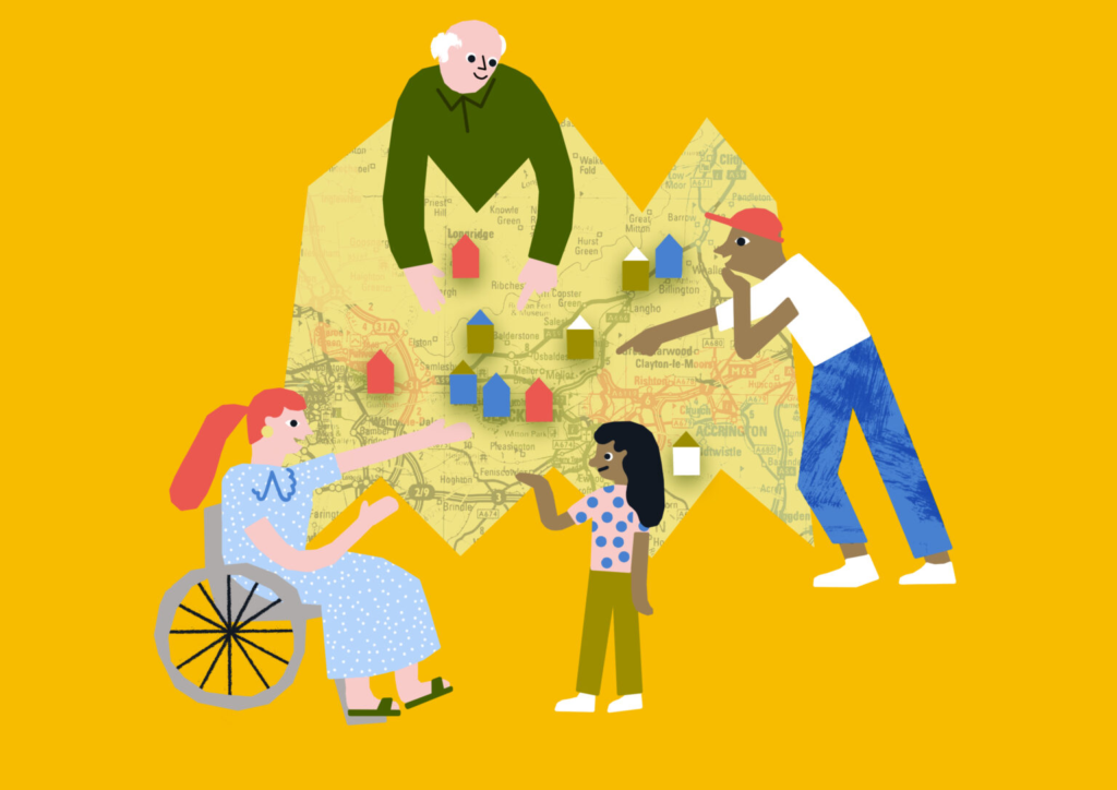
How can community consultations in planning be more effective, inclusive, and be ready for the post-pandemic era? Results from the project Community Consultation for Quality of Life find that participation in consultation can lead to increased wellbeing for individuals and communities.