


City Know-hows
A case study in Tokyo reveals how road width, green spaces, and local amenities influence joggers’ route selection, drawn from extensive data analysis. These insights hold significant implications for urban planning strategies, advocating for city designs that prioritize exercise and outdoor activities.
Share
Target audience
Urban designers and planners; Public health and physical activity teams.
The problem
Despite increasing interest in jogging’s benefits for physical and mental well-being, numerous questions persist about ideal jogging route selection and design. What makes a road suitable for jogging? What city conditions lead to higher satisfaction for joggers? Do government-planned roads inherently meet joggers’ needs? These inquiries highlight the complexity of urban jogging route selection and its impact on city planning.
What we did and why
We explored joggers’ route preferences in Tokyo, using STRAVA data to find a correlation between route popularity and factors like road width, green spaces and points of interest. Aimed at informing urban planning strategies, our research can guide the design of routes that enhance jogger convenience and community safety. This preference-based approach could offer valuable insights into crafting more outdoor-friendly urban environments.
Our study’s contribution
We explored joggers’ route preferences in Tokyo, using STRAVA data; clarifying the preferred route by jogger by combining road network and STRAVA heatmap data.
Impacts for city policy and practice
Our study implications for city policy and practice are:
Use our approach to understand jogger preferences for healthier city planning.
Prioritize the balance of amenities like road width, points of interest, green spaces and route connectivity in designing jogging routes.
Apply our methodology to guide urban planning to create jogger-friendly environments, enhance urban trails, and improve outdoor spaces.
Further information
Full research article:
Preference-based jogging route selection in downtown Tokyo by Yumeng Huang, Sunyong Eom, and Tsutomu Suzuki.
Related posts

My findings suggest that some indicators of neighbourhood physical disorder—specifically the presence of noise, graffiti, and vandalism—are associated with a greater risk for some mental health problems in children, while markers of neighbourhood physical order—neighbourhood cleanliness and well-cared-for dwellings—may have a protective effect.

Heat exposure and greenness influence health and learning outcomes. Satellite images show schools on the Coast have strong heat stress levels and low vegetation; schools in the Andes have the largest solar radiation. Reforming school infrastructure standards is urgently needed in Ecuador. To describe environmental conditions in nine Ecuadorian schools, we analyzed three variables: temperature, vegetation, and solar radiation derived from satellite images that we downloaded from Google Earth Engine. We compared schools across three ecoregions to see differences in range and average values.
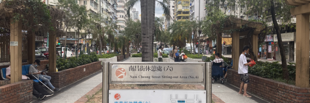
Place qualities affect people’s place identity, attachment, and behaviour, as well as their emotional, psychological, and social well-being. This is core to healthy cities, urban futures and public health.