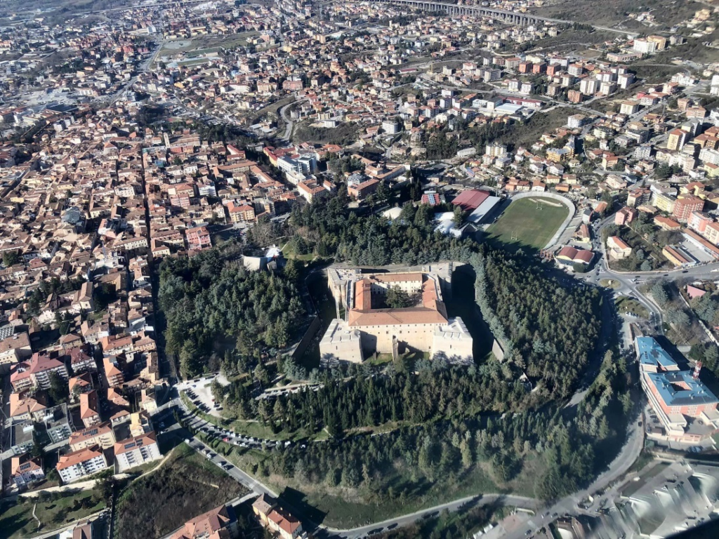
Although the CASE and MAPs were supposed to be temporary shelters for displaced persons, after fourteen years, they have not received proper maintenance and are dilapidated. This scenario opens to the idea that living in these places could negatively affect different psychological aspects, including perceived urban quality and environmental well-being.
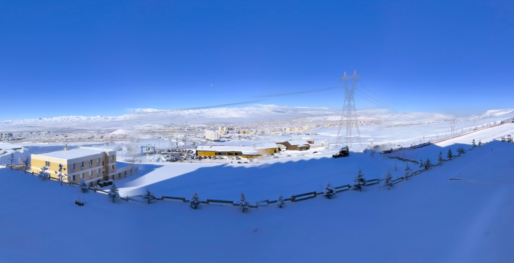
This study investigates how severe winter conditions affect the outdoor activity of older adults in Erzurum, Türkiye—a city known for its long and harsh winters. Based on a quantitative survey with individuals aged 65 and above, a binomial logistic regression model was used to identify key predictors of outdoor activity avoidance.
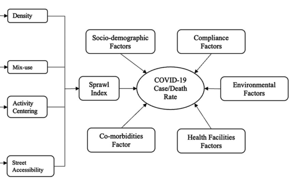
Compactness level urban areas have different health related outcomes during COVID-19.

