

Case Context and Problem

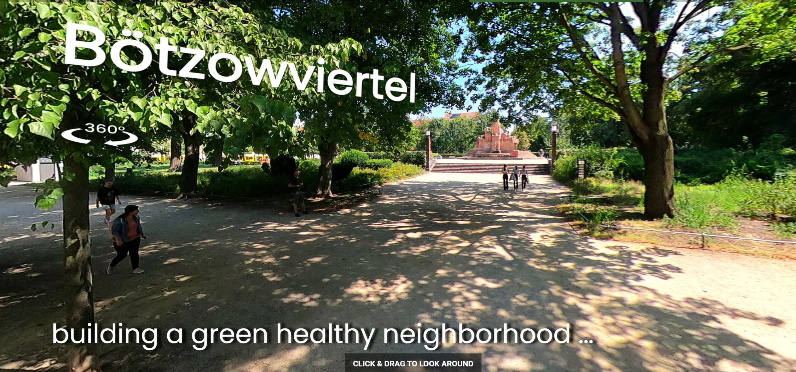
Berlin’s urban neighborhoods, or Kieze, face challenges including heavy traffic, fragmented sidewalks, and car-dominated streetscapes. These issues disproportionately affect vulnerable groups like children, the elderly, and people with disabilities. The city also experiences environmental threats such as urban heat islands, rainwater runoff, and biodiversity loss, exacerbated by extensive impervious surfaces. This case focuses on Bötzowviertel, where pedestrian loops are proposed to connect key destinations like schools, medical offices, and parks, improving both mobility and environmental quality.

Spatial Interventions Objectives

The UrbanCare Berlin project aims to:

  • Develop 2–3 pedestrian loops, each 2 km long, connecting neighborhood destinations.
  • Enhance walkability for vulnerable groups by addressing spatial inequities and barriers.
  • Mitigate urban heat and surface runoff through green infrastructure and permeable pavements.
  • Increase biodiversity by retrofitting underused sealed surfaces and creating green corridors.

Methodology

Using GIS tools, priority destinations were mapped within a 1 km radius of public transit stops. Demographic studies estimated the gait speed of slower groups to plan pedestrian loops. Field research included:

  1. Spatial inequity assessments using systematic observations at urban points (e.g., crossings, seating areas).
  2. Thermal surveys with FLIR E76 cameras to identify heat spots.
  3. Surface analyses to evaluate runoff risks and permeability.
  4. Biotope ratio estimations to measure green space coverage and fragmentation.

Key Results and Lessons Learned

The study highlighted significant barriers to walkability, including disconnected pathways and poorly designed crossings. Heat spots with surface temperatures exceeding 50°C were identified at bus stops and sidewalks, emphasizing the need for shaded areas. Rainwater runoff analyses revealed excessive impervious surfaces, while biotope ratio calculations indicated insufficient green space for biodiversity. These findings underscore the importance of integrating pedestrian-friendly and climate-resilient design into Berlin’s neighborhoods.

Limitations

The study faced limitations in engaging all stakeholders due to time constraints and lacked long-term data to evaluate the impact of proposed interventions. Budgetary and administrative challenges delayed implementation.

Implications for Practice

This case demonstrates the value of pedestrian-first planning for improving urban health and climate resilience. It provides a replicable framework for cities to integrate GIS-based analysis, community engagement, and climate-adaptive design in neighborhood retrofits.

Visual Evidence

Conclusion

This case study documents the UrbanCare methodology applied to Berlin’s Bötzowviertel neighborhood, from identifying spatial inequities to proposing pedestrian loops. It highlights environmental diagnostics, including thermal and runoff analyses, and offers actionable solutions for creating walkable, climate-adaptive streetscapes.

Learn more about this case here: https://www.buildinghealth.eu/a-healthy-neighborhood-in-berlin/

Contributors

Research: Alvaro Valera Sosa (Building Health Lab)
Contributors: Netra Naik and Anna Au from Building Health Lab

Related posts

Well-designed public spaces don’t just fill a city; they shape our happiness, our connections, and even our psychological well-being

Urban environments and public spaces play a crucial role in shaping mental health, life satisfaction, and social connections. Most studies have mainly looked at cities as a general category, but we still don’t fully understand how different kinds of public spaces affect people’s mental well-being. We try to fill that gap by looking at seven types of urban spaces to find out which ones help people feel better mentally.

Read More »