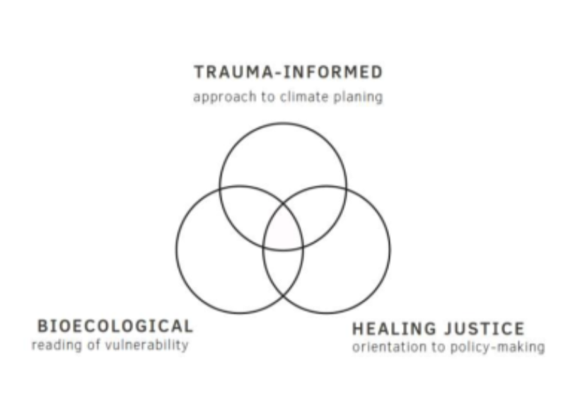
To plan equitable climate interventions in times of systemic crisis, cities must be trauma-informed and make healing justice a key feature of urban resilience planning.
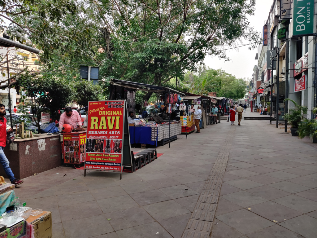
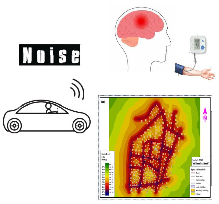
We ask whether streetscape design can be used to alleviate anxiety. Let’s understand how we can alleviate anxiety of the people on streets through their daily experiences while walking.

Among the factors impacting functioning and quality of life in autism, aspects of the built environment have recently gained increasing attention. However, the opportunity of proposing a universal framework for cross-scalar examination of these factors remains largely unrealized.
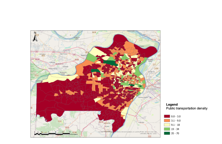
By narrowing the focus to public transport, a key component of urban spatial structure and urban mobility, this study explores the applicability of the World Health Organization’s International Classification of Functioning, Disability, and Health (ICF) in examining the built environmental factors that influence autism.