
Big data is valuable for understanding the spread of health-enabling resources in cities. But what happens when those resources are not visible via GIS? We explored crowdsourced data as a solution.
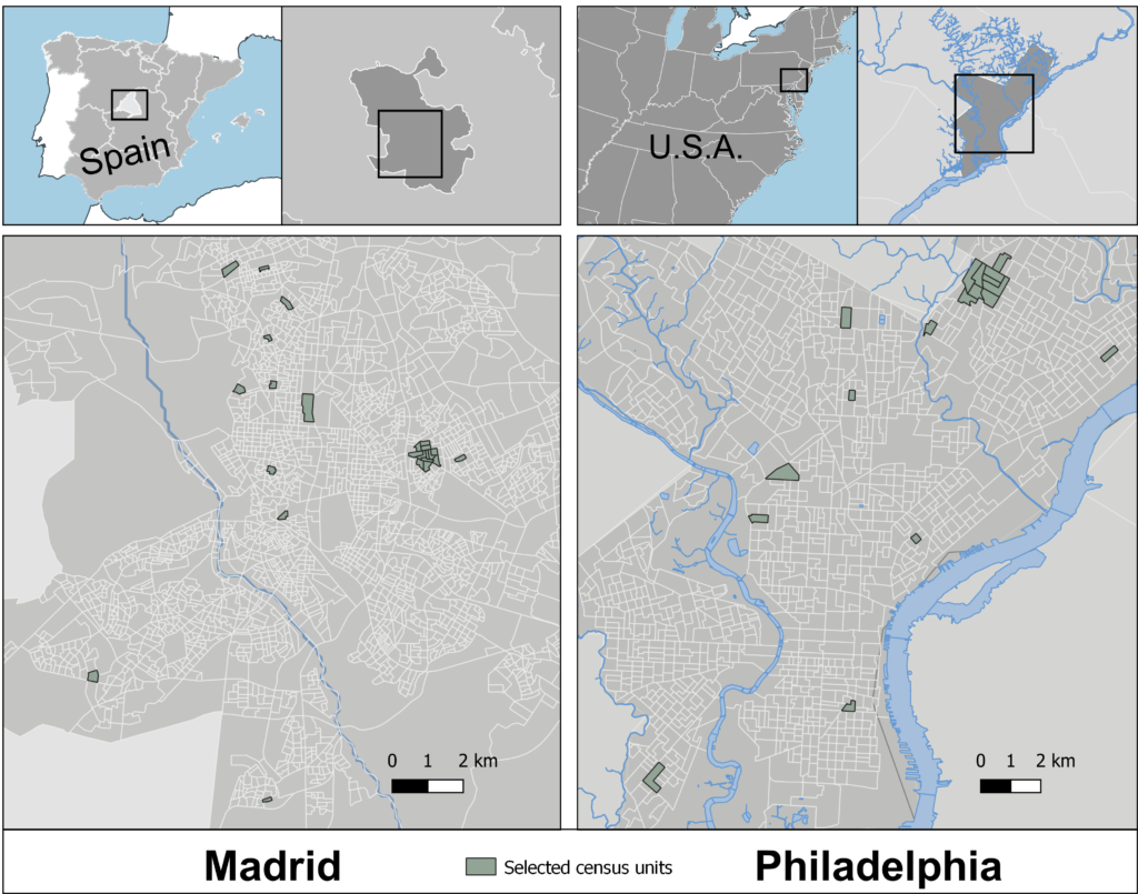
We compared cross-city differences in the walking environment in Madrid and Philadelphia as a case study
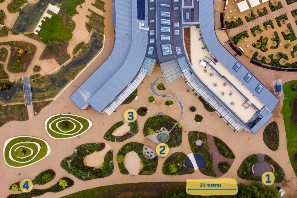
Our findings highlight how different features including sounds of flowing water, open seating areas, far-reaching views, and a variety of planting (colour, height, texture, scents, attracting wildlife) within a garden influence emotional reactions and perceived restoration. These findings help build a wider picture of the lived experiences of garden users and how their wellbeing may be influenced by specific garden features. We intend our findings to support design guidelines of public greenspaces concerning human wellbeing.