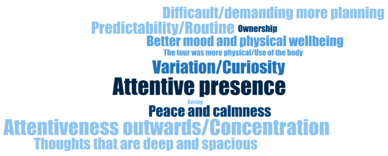
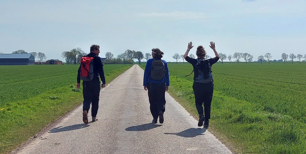
City Know-hows
Target audience
Town planners and urban designers, GIS program developers and user experience designers.
The problem
Even though we know that public participation Geographic Information System tools are useful in understanding macro-scale environmental characteristics of urban spaces (i.e. location of places, routes and areas), the tools may not be sufficiently effective in identifying the micro-scale physical characteristics (e.g. sidewalk quality, furniture, building conditions).
We need to understand how the tools can be developed further to broaden their effectiveness for studies on micro-scale characteristics of streetscapes.
What we did and why
Our pilot study on Children’s Liveable Streetscapes employed multiple functions of an advanced public participation Geographic Information System tool to design a survey that was completed by parents of children aged 9-13. This study tried three different methods of participants’ engagement with the public participation GIS survey: purely online engagement, one-on-one conversations with the participants on-site, and organised group meetings in local schools.
The observation of respondents’ behaviour during their participation and the quality and quantity of responses were used to evaluate the effectiveness of the tool.
Our study’s contribution
Four challenges emerged in this study that undermined the efficacy of the tool:
Impacts for city policy and practice
Implications for urban design and planning, public participation GIS program developments and user experience design:
Further information
Not available.
Full research article:
The methodological challenges of using public participation Geographic Information System for understanding micro-scale physical characteristics of streetscapes by Fatemeh Aminpour, Kate Bishop & Linda Corkery
Related posts
Our study introduces and reviews how the built environment and its relation to population health are assessed in the literature. We did this by identifying methodological shortcomings and research potentials that need to be addressed jointly. Our assessment aims to undertake multiple health issues in an integrated manner, and identify priorities within the city whereby health is a primary goal.
Park access is about more than just distance to get to the park.
On this webpage, follow the Bötzowviertel case, a neighborhood streetscape analysis with pedestrian solutions.