

City Know-hows
A study of over 25,000 people in the US found that people living in more developed areas were less likely to suffer a “first-time” or incident stroke.
Share
Target audience
Urban planners; Health researchers; Community residents
The problem
Scientists have studied many factors that may influence a person’s likelihood of having a stroke. Research suggests that more urbanized areas may benefit residents by providing access to health-promoting resources. We found few studies that investigated the link between land development and stroke. Those studies used simple classifications of urban versus rural settings, measured at a single point in time, and had mixed findings.
What we did and why
We wondered whether using a refined measure of development intensity, and linking that measure to where people lived over time, would capture environmental exposures that influence stroke risk. We linked data on development intensity around study participants’ homes to other information including age, gender, race, health conditions, and whether a person had a stroke during the study period. Our study included adults living in both urbanized and rural areas in the US. In our study, half of the participants lived in areas with primarily low-density development, ranging from rural areas with sparse housing to suburban areas with large lot housing developments.
Our study’s contribution
We measured development intensity in 8-km road networks around study participants’ residential addresses. We created a ratio of high- and medium-intensity land cover, to low-intensity and natural land cover, to capture development intensity. We found that people living in areas with greater development intensity had a lower risk of stroke. Our study suggests that development intensity in 8-km road networks, measured over time, matters for stroke risk.
Impacts for city policy and practice
Higher development intensity in this study sample reflects greater housing density, more commercial and retail outlets, and less natural land cover. Areas with greater development intensity are more likely to have features in the built environment that have been shown to support cardiovascular health, such as diverse, compact land uses with a mix of resources including food outlets, health care facilities, and public transport, and features that support physical activity, including sidewalks, bicycle facilities, parks, and trails. A continued focus by planners on enhancing environments in ways that have been shown to benefit cardiovascular health and promote physical activity may also contribute to lowering the risk of incident stroke. We did not investigate specific neighborhood features in this study, and that is a logical next step for research on environmental exposures and incident stroke.
Further information
Full research article:
[OPEN ACCESS] Development intensity and incident stroke risk: a longitudinal study of the REGARDS cohort by Cathy L. Antonakos, Ian-Marshall Lang, Stephanie Miller, Suzanne E. Judd, Matthew L. Flaherty and Natalie Colabianchi.
Related posts

Discover how neuroscientific methods reveal the impact of urban environments on mental well-being. Our study provides insights to help city planners design spaces that enhance mood and cognitive health, making cities better for everyone.
Discover how our innovative audit tool transforms urban parks into activity-friendly spaces. Designed specifically for dense city areas, this tool helps decision-makers enhance park features, promoting healthier and more active communities.
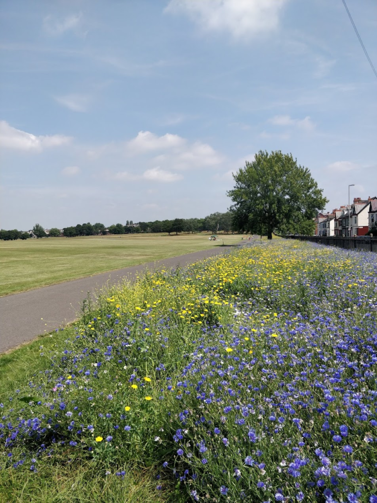
There is limited evaluation of whether green space interventions lead to more people using these spaces. This is partly due to the difficulty of collecting data on visits to green spaces. Mobile phone data may offer one solution, but are rarely made available to researchers. As such, there is less examination of whether these data are valuable. We accessed small area anonymised mobile phone GPS data for Liverpool (2021-2022). Using a case study of wildflower planting, we identified green spaces where wildflowers were planted. A synthetic control was then constructed to identify similar green spaces where planting did not take place. We then compared the number of visits post-intervention between the intervention and control green sites. Our paper also gives an empirical and methodological evaluation of the strengths and weaknesses of using mobile phone data, which can inform others on how to best use them.