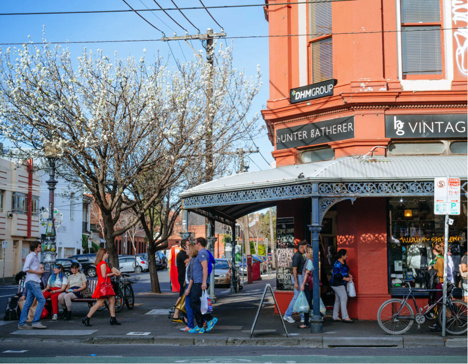
Housing in disadvantaged areas is more affordable, however, cities would be more equitable if disadvantaged areas were walkable and amenity rich; and existing liveable neighbourhoods had more social housing.
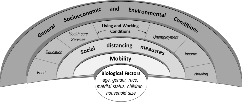
The psychological impact of social distancing order during the COVID-19 pandemic can be determined by combining the effects of both individual and community capacities. This study supports the need to improve the physical environment to implement more sustainable health policies in different communities and cities across the world.
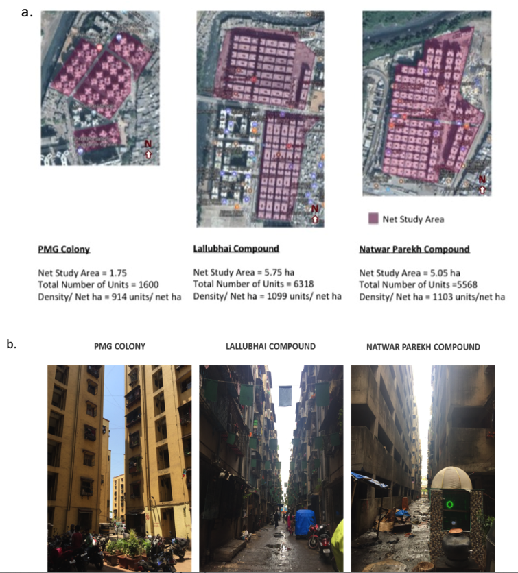
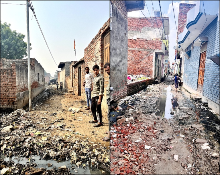
In resettlement colonies of Mumbai, tuberculosis is rapidly spreading due to the poor natural ventilation and sunlight access. This is because of bad designing and