
City Know-hows
Living in modern cities can increase cardiovascular disease risk. This study analyzes the association between urban design and obesity, proposing a simplified index to assess how the built environment impacts heart health. Our “Urban-Obesity-Index” helps local authorities and planners design healthier neighbourhoods.
Share
Target audience
The problem
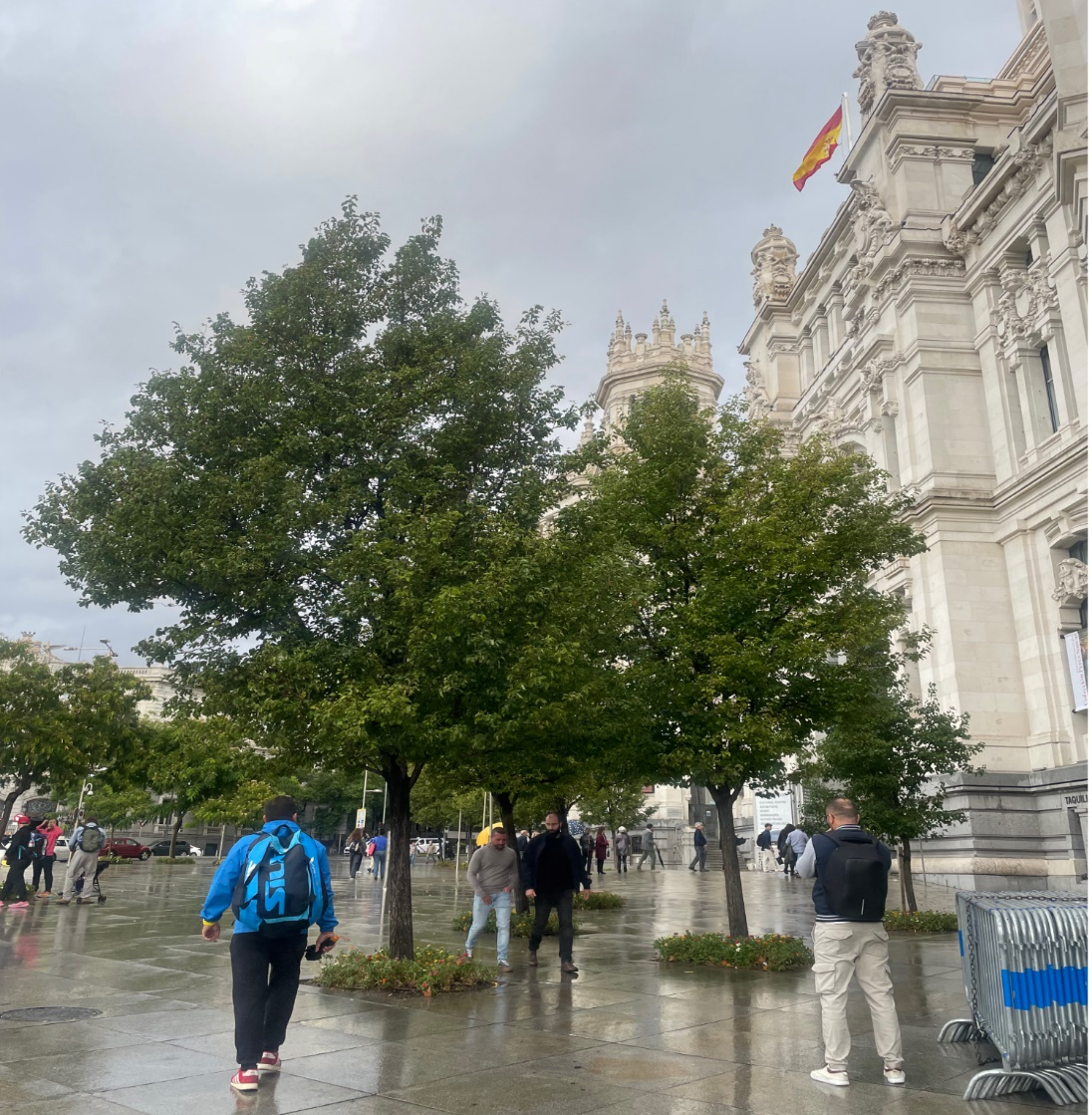
Rapid urbanization, especially in developing countries, challenges public health by creating environments that hinder healthy lifestyles. These urban environments, often lacking green spaces and access to fresh food, while facing high pollution and insecurity, contribute to increased obesity and cardiovascular diseases. This complex problem, involving multiple factors, makes evaluating and designing effective interventions difficult. Understanding how these factors contribute to obesity is crucial for planning cities that promote cardiovascular health.
What we did and why
Based on a comprehensive review that analyzed 63 documents with data from 56 countries and 102 cities. A total of 145 indicators were identified and classified to optimize their use and adaptability, with a holistic view to address the problem. This allowed the definition of 23 key characteristics of the built environment that form a practical and simplified “Urban Obesity Index” for planners and local authorities to assess neighbourhoods and identify priority areas for intervention.
Our study’s contribution
For understanding the association between the urban environment and cardiovascular health:
• We developed the “Urban Obesity Index,” a practical tool for assessing how the built environment influences cardiovascular health.
• This index incorporates health determinants and planning strategies to provide a holistic view.
• We emphasize the neighbourhood scale to identify priority intervention areas.
This allows local authorities to integrate cardiovascular health into urban planning and contribute to achieving the goals of SDGs 3 and 11.
Impacts for city policy and practice
The “Urban Obesity Index” provides a practical tool for authorities and planners to:
• assess cardiovascular risk associated with the built environment; integrate cardiovascular health into urban planning; design heart-healthy neighborhoods that promote active lifestyles and access to healthy food;
• promote equity by identifying and addressing inequalities, helping to target interventions to the most vulnerable areas and populations;
• encourage citizen participation in creating healthier cities, raising awareness of the problems and fostering community involvement; and,
• monitor progress to improve interventions, establishing evidence-based criteria for more effective actions and allowing for adjustments and improvements in intervention strategies.
The index is a tool for local decision-making, policy implementation, indicator monitoring, and the inclusion of cardiovascular health in urban planning.
Further information
Full research article:
The weight of place: a relational framework for urban obesity and heart health in diverse contexts by Manuel Antonio Medrano-Blanco, Emilia Román López, Jose Alí Porras-Salazar and Ester Higueras García
Related posts

The study aims at understanding the qualities of different. Although previous studies have explored the well-being-related benefits of recreational walking in nature, studies examining the perceived qualities and contextual factors of these walks are rare.

Dystopian frameworks portend the future. With climatic upheavals increasing, dystopia is now. Because of escalating urban heat and heat-related illness and death, this essay speculates a future that switches daily activities into the coolness of night: Noctopia.

Our findings revealed that despite the limited play destinations compared to the local child population, children’s outdoor play experiences are predominantly positive. This positive outlook is attributed to their sense of safety within familiar spaces and strong social ties with neighbours beyond their immediate families. Key contributing factors include the proximity of schools and play areas to residential locations, the strategic placement of playgrounds along home-to-school routes, and the hierarchical relationship among neighbourhood open spaces.