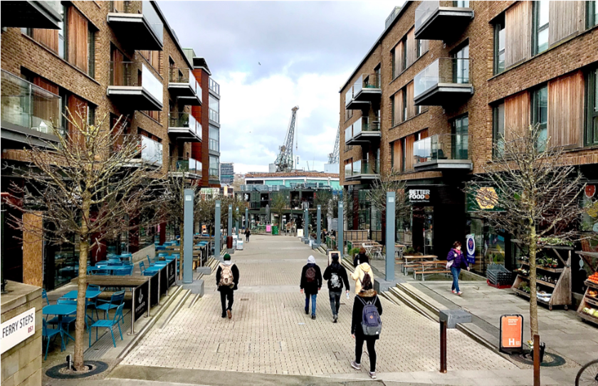


Walking is one of the simplest ways to support health, but people only walk when streets feel comfortable, safe, and attractive. Our study shows that small design choices at the street level can strongly shape walkability, and that immersive virtual reality can help cities test these choices before making expensive changes.

Share

Target audience

Urban planners and active travel experts, public health practitioners

The problem

Many cities want to encourage walking, but the design of everyday streets often makes this difficult. Poor sidewalks, weak pedestrian comfort, traffic pressure, and low-quality public spaces can discourage people from walking even when destinations are close. In practice, these small street-level features are often overlooked, even though they have a direct effect on how people experience the city.

What we did and why

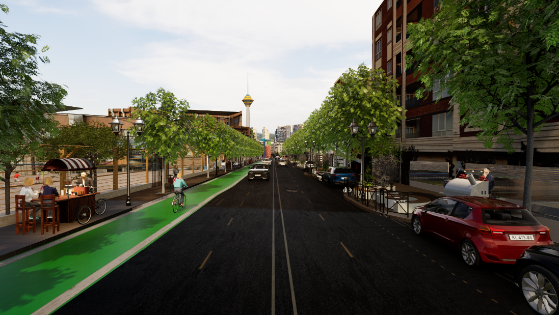
We used immersive virtual reality to examine how people respond to different micro-scale street design features in a neighborhood in Tehran. This method allowed us to test street conditions in a controlled way without changing the real street. We used it because virtual reality can help planners understand how people may perceive and react to design choices before those choices are implemented in the real world.

Our study’s contribution

The study shows that walkability is shaped not only by major infrastructure, but also by small design details such as greenery, seating, enclosure, and the quality of pedestrian space. It also shows that virtual reality can be a useful tool for evaluating these features in a realistic but controlled environment. This makes it possible to compare design options more safely and efficiently than relying on field observation alone.

Impacts for city policy and practice

For planners and decision-makers, the main lesson is that improving walkability does not always require large-scale redevelopment.

Small but visible changes to streets can make a meaningful difference in how people feel about walking. Cities should use digital testing tools more often, design streets according to local conditions, and pay more attention to the everyday quality of pedestrian spaces. Virtual reality can also support better early-stage decision-making by showing which design options are likely to work best before construction begins.

Further information

Full research article:

Related posts

Opportunities and challenges of using mobile phone data for evaluating placed-based interventions: A green space pilot

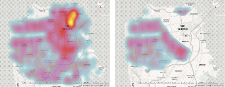
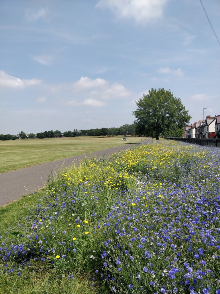
There is limited evaluation of whether green space interventions lead to more people using these spaces. This is partly due to the difficulty of collecting data on visits to green spaces. Mobile phone data may offer one solution, but are rarely made available to researchers. As such, there is less examination of whether these data are valuable. We accessed small area anonymised mobile phone GPS data for Liverpool (2021-2022). Using a case study of wildflower planting, we identified green spaces where wildflowers were planted. A synthetic control was then constructed to identify similar green spaces where planting did not take place. We then compared the number of visits post-intervention between the intervention and control green sites. Our paper also gives an empirical and methodological evaluation of the strengths and weaknesses of using mobile phone data, which can inform others on how to best use them.
Read More »