
City Know-hows
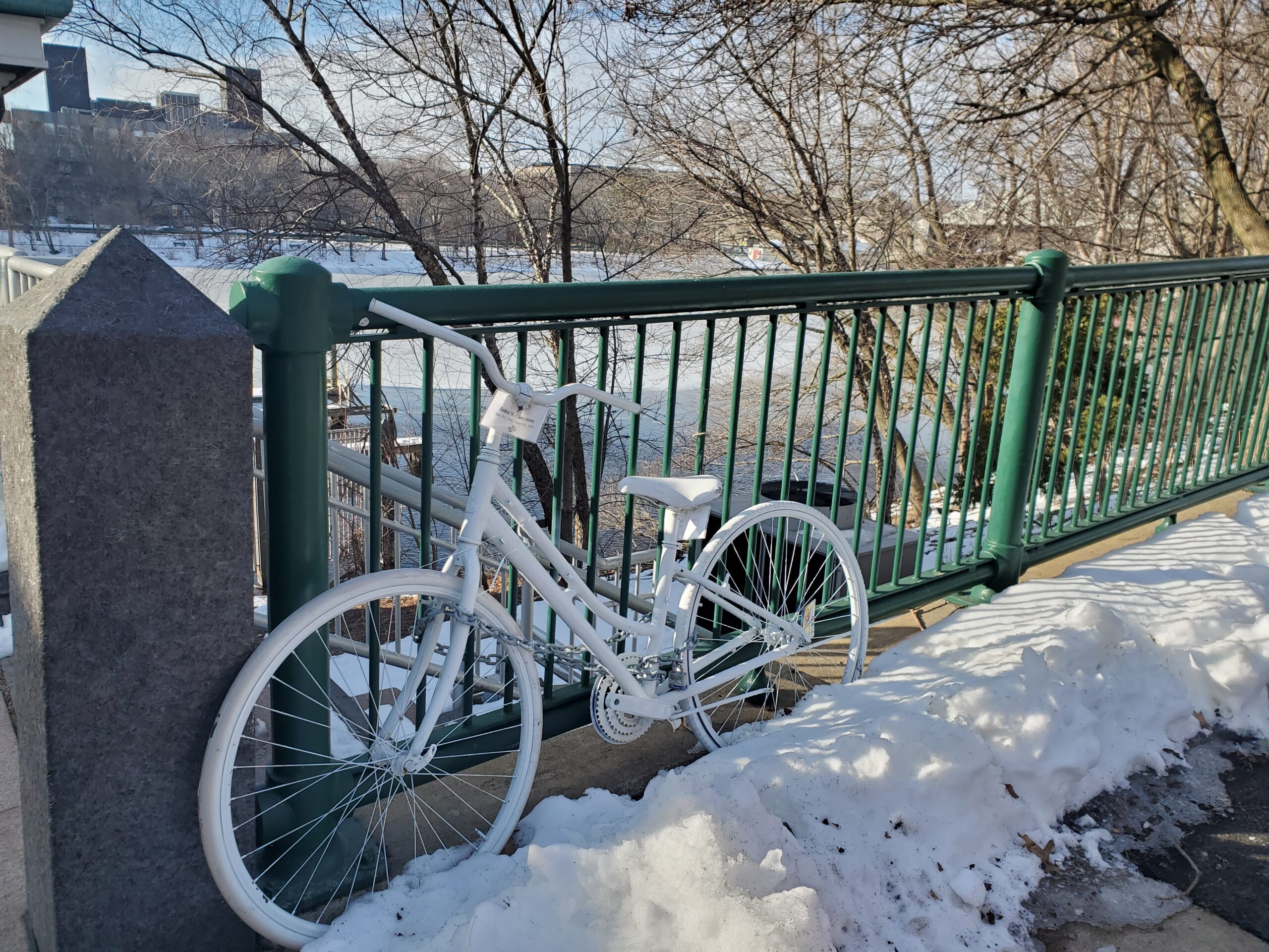
The high risk of death and disability from being struck by a car is unevenly distributed geographically and socially. Our analytics reveal a troubling pattern in that people from Black and Latino neighbourhoods face an especially high risk of crashes, both near and far from home.
Share
Target audience
Vision Zero leaders in the hundreds of participating cities across the world – in planning departments, nonprofits, and community groups.
The problem
The high risk of death and disability from being struck by a car is unevenly distributed geographically and socially.
What we did and why
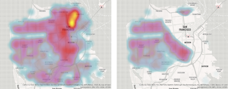
Mostly evidence around health disparity is focused on the amenities and hazards in the neighbourhoods where people live: these are important exposures as well as there exists data to study them. 9-1-1 call (or the national equivalent for an emergency call) records are set up in the opposite way: these are oriented around where the medical emergency happens. We novelly processed and geolocated 9-1-1 call records, to link them back to the neighbourhoods where the individual involved resides. This lets us reveal health disparities by relating risks to not only to the location of their injury but also to the individuals’ home neighborhoods.
Our study’s contribution
We find that communities of colour disproportionally experience traffic crashes in two ways. First, we observe that crashes occur twice as frequently in communities of colour, i.e., those with the lowest two-fifths share of white residents, than predominantly white neighbourhoods with the highest two-fifths shares. Second, while residents from communities of colour account for about nine in ten victims who crash in those neighbourhoods, we reveal that those residents also account for five in ten victims in predominantly white neighbourhoods.
Impacts for city policy and practice
These results identify a need for a specific conversation among academics and policymakers, especially in light of recent popular press and scholarly work on nationwide racial disparities in traffic fatalities, that addresses risk in one’s own home neighbourhood and more distant places. This will allow advocates, along with state and city transportation officials, often working under the Vision Zero framework, to more clearly articulate the parallel goals of reducing crash hazard where people live while also addressing it where people travel through and to.
We urge urban ambulance services’ analytics teams to collaborate with public health teams to leverage fine-grained operational data to lessen health disparities. Note how we innovatively linked emergency call data for medical emergencies back to the home neighbourhoods of the people involved to detect health disadvantage for crash risk.
The Vision Zero Network serves to orient much of the zero-crashes policy work in cities globally.
Further information
Full research article:
Mobility risk: using ambulance operations data to analyze the spatial and social dimensions of health disadvantage
Mark Brennan, Sophia Dyer, Yonah Freemark, James Salvia, Laura Segal, Erin Serino & Justin Steil
Related posts

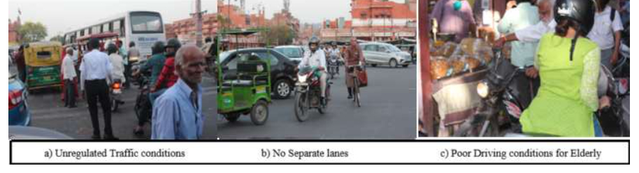
The deterioration of the built environment, as well as poor traffic and pedestrian conditions, creates obstacles to active mobility, active ageing and functional abilities among older adults residing in heritage city cores. This has negative impacts on their social inclusiveness, quality of life and well-being. The walled city, which encompasses Jaipur’s heritage neighbourhood, is one of the few planned cities in India, extending back to the 18th century, and is considered a tourist attraction. With an in-depth study, we use Jaipur’s walled city to examine how supporting a better quality of life for an ageing population can have co-benefits for the tourism economy.
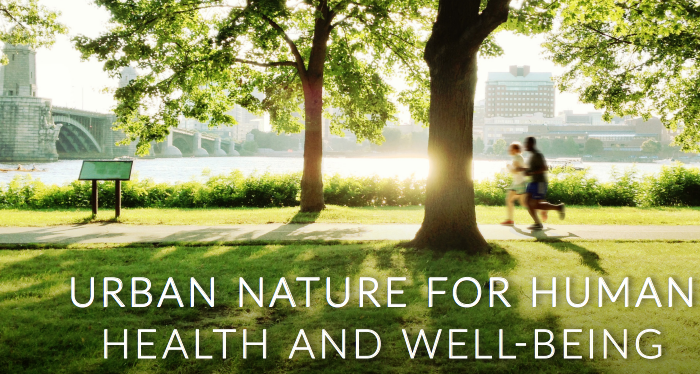
The study by collecting data from a sample in a developing and rapidly urbanizing country in South Asia highlighted the importance of green space interventions to promote urban dwellers’ contact with urban green spaces and physical activity levels. Moreover, it highlighted differences in urban green space usage behaviours based on differences in sociodemographic characteristics, suggesting the necessity to target certain sub-population groups more than others.
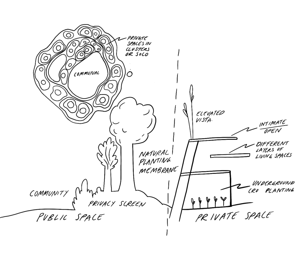
Envisioning a socially and ecologically sustainable human habitat: Connecting Land.