

City Know-hows

Mapping fast-food access near schools in Singapore: insights for healthier urban planning

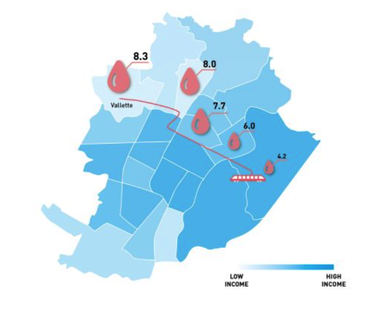
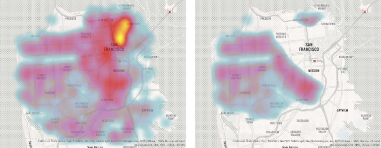
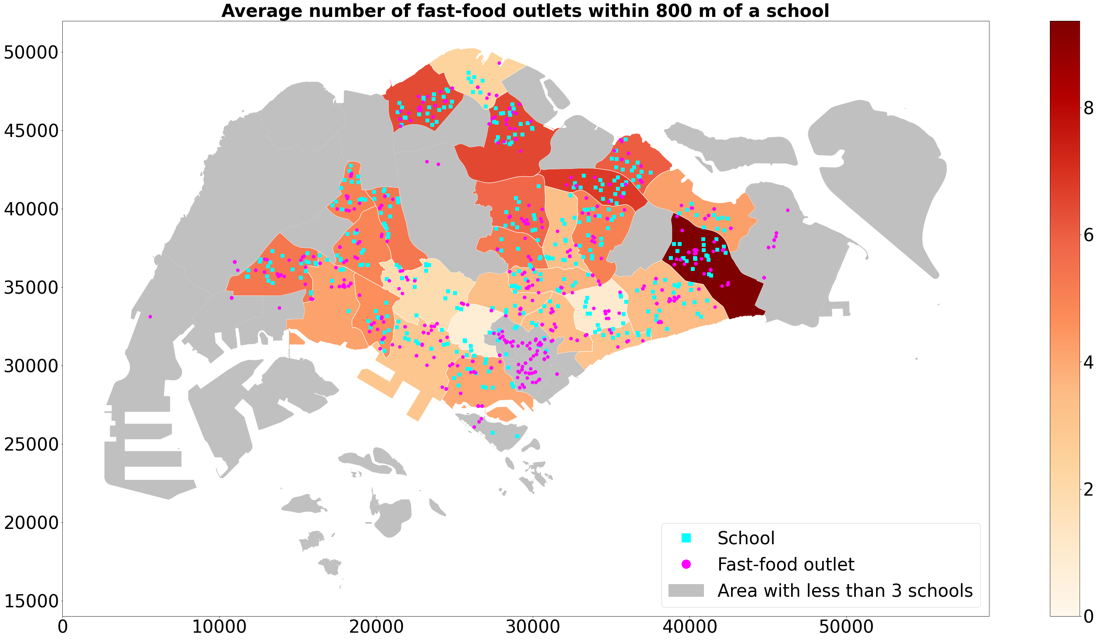
Spatial analysis of the proximity and clustering of fast-food outlets around schools in Singapore. The areas with high concentration of fast-food outlets also have lower income and more public schools than their international counterparts.

Most schools in Singapore are exposed to fast-food outlets within walking distance, with closer proximity in lower-income areas and strong contrast between public and international schools. This clustering poses public health risks and highlights the urgent need for urban planning strategies to create healthier school neighbourhoods.

Share

Target audience

City planners, policymakers, and urban health advocates.

The problem

Childhood obesity is a growing concern globally, influenced not only by individual choices but also by the environments in which children live and learn. In dense urban settings like Singapore, the widespread availability of fast-food outlets near schools may expose children to unhealthy food options daily. We investigate the spatial clustering of fast-food outlets around schools across Singapore, focusing on how the pattern varies by neighbourhood income and school type, revealing significant socio-spatial health inequalities.

What we did and why

We conducted an ecological study to examine the proximity and clustering of fast-food outlets around schools across planning areas in Singapore. Using cross-sectional data from government sources and official fast-food directories, we analysed spatial patterns by school type and neighbourhood income. Multivariate regression models were used to assess associations while adjusting for transport access, population density, and income. Our goal was to understand how urban food environments may contribute to health inequalities and inform planning policies.

Our study’s contribution

This study provides empirical evidence on the spatial clustering of fast-food outlets around schools in a dense urban setting, highlighting socio-spatial inequalities in food access. We show that fast-food outlets are more concentrated near public schools and in lower-income neighbourhoods, raising concerns about obesogenic environments. By linking urban form, school location, and food accessibility, the findings offer valuable insights for urban planners, public health practitioners, and policymakers aiming to create healthier, more equitable school neighbourhoods.

Impacts for city policy and practice

The findings highlight a critical need for policies that address the external food environments around schools. Urban planning regulations could consider zoning restrictions or buffer zones limiting fast-food outlet density near schools, particularly in lower-income neighbourhoods. Integrating health equity into land-use planning and licensing decisions can help mitigate obesogenic environments. Collaborative efforts between planning authorities, public health agencies, and education sectors are essential to create supportive environments that promote healthier food choices for children and families.

Further information

Full research article:

Related posts

Prioritizing residents’ experiential knowledge in public housing redevelopment programs to promote community health

Despite historic disinvestment and stigmatizing portrayals of public housing, residents often describe their place as a source of refuge. We explored the ways residents of a predominately Black public housing complex undergoing redevelopment construct meanings of place, emphasizing their place-making efforts to challenge their social marginalization and foster community health.

Read More »